Services
Land Surveying
& Mapping
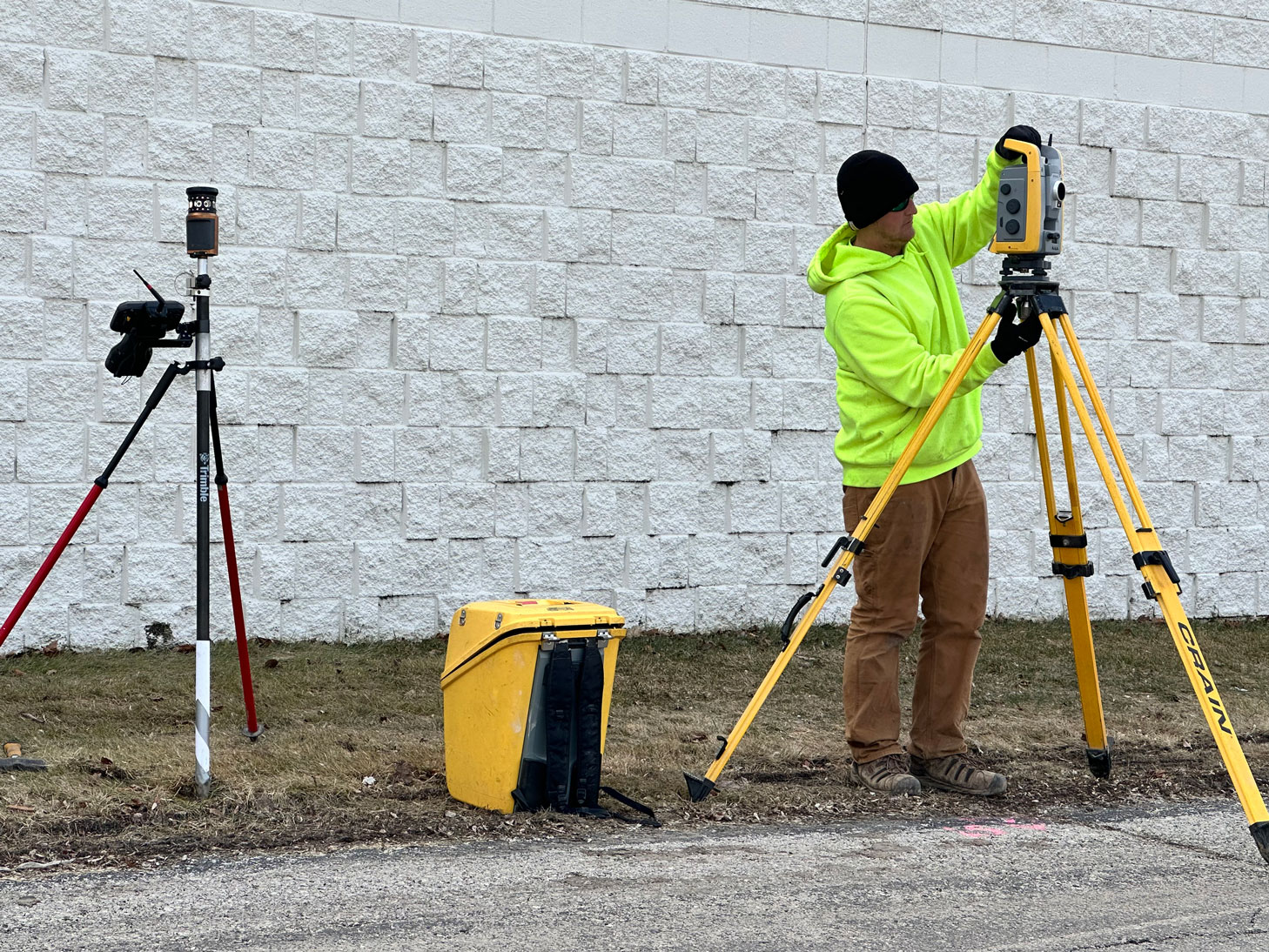
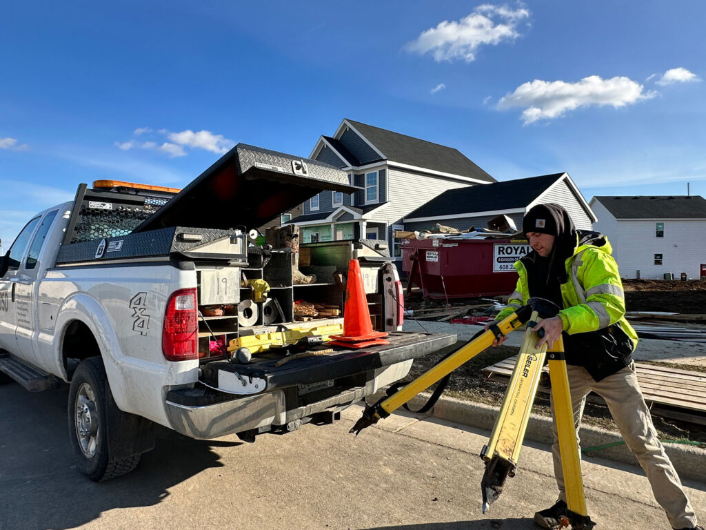
Surveying is the only discipline that is present in every phase of the planning, design and construction cycle. Utilizing the latest in technology, JSD’s staff of professional land surveyors, experienced crew chiefs and field technicians provide the best in quality and service from existing conditions to final construction record drawings to ensure your goals are met.
Working within a multi-disciplined firm, our team provides in-depth professional services for your project or real estate transaction. Our services include Property Surveys, Topographic/Utility Design Surveys, ALTA/NSPS Land Title Surveys, Subdivision Plats, Certified Survey Maps, Condominium Plats, Transportation Project Plats, and Cemetery Plats.
Besides providing a base for proper design, our maps also identify property concerns at early phases of due diligence which can alert developers or property purchasers of issues that could affect acquisition, cost to cure, unknown encumbrances and development constraints that may cause additional significant expense.
For construction, our crews provide comprehensive and accurate construction staking for building, site, and infrastructure construction. In addition, prior to construction, our team of engineers and surveyors provide diligent review to identify errors or omissions to help avoid delays, claims and significant cost overruns.
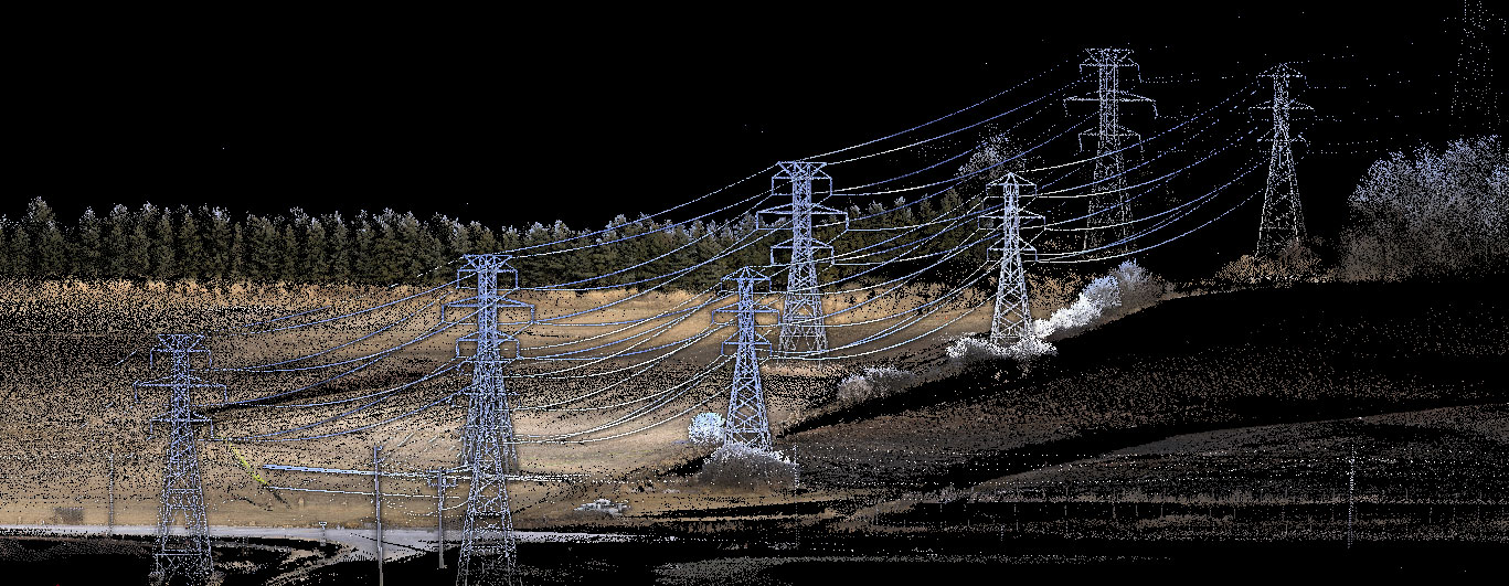
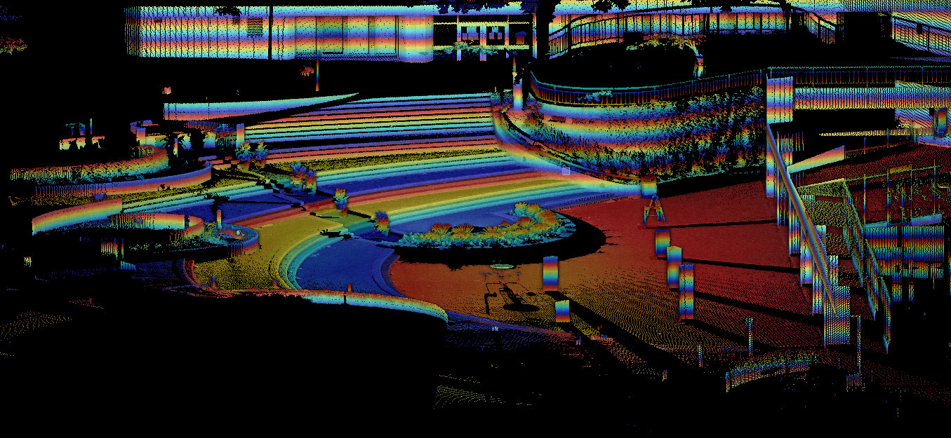
Our team also has a wealth of experience on more unique surveying tasks such as bathymetric surveys, solar farms, cemeteries, and utility corridors demanding very detailed reconnaissance and construction staking. We provide drone-based and 3-D laser scanning data for use in civil and architectural design, along with outstanding photography/videography services to document your project’s progress.
We can offer you a multitude of surveying services for financing, due diligence, land division, construction, lakebed topography, structure monitoring, land divisions and right-of-way platting.
Services
- Property Surveys
- Topographic and Engineering Design Surveys
- Utility and Bathymetric Surveys
- Major Plats
(Subdivision) - Minor Plats
(Certified Survey Maps, Plat of Surveys) - Condominium Plats
- Transportation Project Plats (WisDOT)
- ALTA/NSPS Land Title Surveys
- Construction Surveying
- Structure Monitoring
- FEMA Surveys (LOMA, LOMR & LOMF)
- Aerial Mapping (Ground Control)
- Drone Photogrammetry and Photography/ Videography
- 3D Laser Scanning
- Legal Descriptions for Land Entitlement (Easements, Rezoning, Vacation and/or Discontinuation of Land, Annexations, Release of Rights, Privilege in Streets and Condo Removals)
- Solar Facility and Utility Corridors
Check out the images below created from our scanning total station, the SX-10.